Category Archives: Hiking

Tips for Safe Hiking in the Southern Arizona Low Desert

Typical Sonoran Desert flora on the gently rolling terrain

Topics

  • Introduction
  • Weather
  • Water
  • Clothing and Gear
  • First Aid Kit
  • Navigation Aids
  • Animal Hazards
  • Plant Hazards
  • How to Request Emergency Help
  • Prepare for the Worst?

Introduction

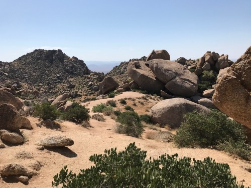
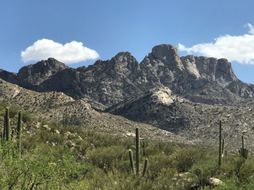
Arizona is blessed with thousands of miles of beautiful trails. Most hikers complete their treks without injuries or other adverse events. However, you can get into serious trouble—even life-threatening—if you don’t know what you’re doing. The most common hazards are related to weather, water, and falls. Our goal with this guide is to help you thrive and survive on southern AZ’s low desert trails. It’s only a start; learn more on your own from authoritative sources.

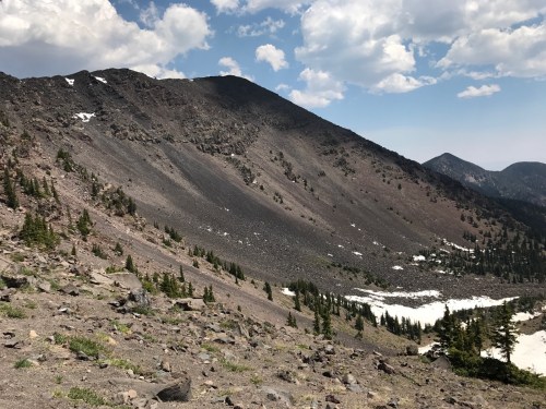
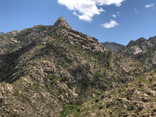
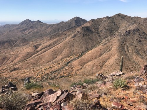
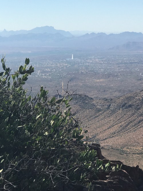
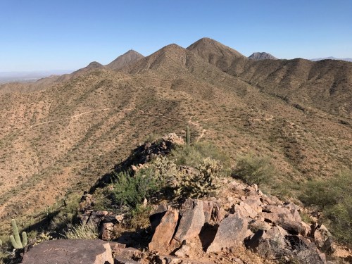
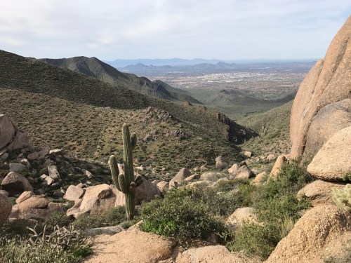
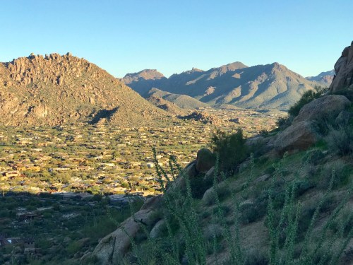
“Low desert” refers to elevations of roughly 1,000-2,500 feet above sea level, although many low desert trails may take you up mountains to 3,500-4,500 feet. For instance, Scottsdale’s elevation is 1,200 feet and Tucson’s is 2,400 feet. In contrast, the Mogollon Rim (e.g., Payson, AZ) is around 6,000 feet and Flagstaff is 7,000. At these higher elevations the climate, flora, and fauna are often radically different from the low desert.

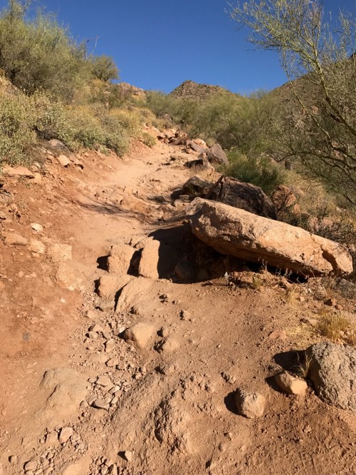
Before your trek, it’s critically important be honest about your physical coordination and fitness level. If you haven’t walked more than two miles non-stop during the last year, don’t try a four-mile hike. Learn all you can about your proposed trail before you start. Trail descriptions will often note whether it is easy, moderate, difficult, strenuous, or “expert level.” A “primitive trail” will be easier to get lost on and usually have worse footing. Also pay attention to “elevation gain”; a 500 foot or more gain in elevation increases the difficulty. Scottsdale’s famous Camelback Mountain peak is at 2,700 feet, but the Cholla trail starts 1,300 vertical feet below that. That’s not a stroll in the park.

The farther away you get from civilization, the potential adverse outcomes of hiking increase. For any but the easiest and crowded urban trails, tell someone which exact trail you will be on and when to expect a call from you after you finish. That way they know where to send the search party when you don’t check in. On remote or uncrowded trails, hike with a buddy who can help if you become injured or disabled.

Numerous rescues and several deaths occur yearly on AZ’s trails. Are you scared yet? Let’s alleviate that fear and minimize risks! What follows pertains mostly to day hikes on established trails, not bushwhacking or overnight backpacking.

Weather

Heat kills. From mid-May through late September, high temperatures in the low desert often hit 105 to 110° F or even higher. Low temps in summer may not drop below 95! Most Arizonans will NOT be on the trail in the sun when it’s above 95 degrees. We’ll hit the trail at sunrise and be off it by 10 AM. Memorize and avoid these signs of Heat Illness: muscle cramps, feeling faint (dizzy), goosebumps, unusually high pulse, extreme fatigue, nausea, headache, rapid breathing. If ignored, these can lead to heat stroke, which can be fatal. Adequate hydration and perhaps salty snacks or electrolyte packets help prevent Heat Illness.

Some trails will have almost no shade, so you should avoid them in summer after 10 AM unless high temps under 95° are predicted. 

High temps are not much of a problem in late fall, winter, and early spring. Low temps are easily manageable with the right clothing. But always check the forecast for temps, rain, snow, and thunderstorms before heading out. The higher the elevation, the cooler it tends to be.

AZ has a season called “monsoon” from June 15 to Sept 30 when overall humidity is higher than usual. It’s characterized by occasional violent storms with rain, high winds, lightning, and flash flooding. Don’t get caught outside in a monsoon storm. Be very careful to avoid creeks and dry creek beds (washes or arroyos) when rain is in the area or even miles away, or you could die in a flash flood. From the Centers for Disease Control : “Lightning often strikes outside of heavy rain and can strike as far as 10 miles away from any rainfall. Many lightning deaths occur ahead of storms or after storms seemingly have passed. Remember, if you can hear thunder, you might be in danger of a lightning strike.”

Water

Dehydration kills. Especially in the hot months. Adequate hydration will help prevent Heat Illness. How much water you carry with you depends on body weight, length of hike, humidity level, temperature, personal preference, etc. Everybody should start out well-hydrated and take more water than you think you’ll need. One rule-of-thumb is that, when a third of your water is gone, it’s time to turn around unless you’re half-way to your destination. For hot summer hikes, Arizona Hiking Shack (phone 800-964-1673) advises adults to take one liter of water for every hour you’ll be out, plus and an extra bottle “for whatever.”  There’s a fair chance you’ll run across someone on the trail who needs water. You may need water to cleanse abrasions or wet your neck’s cooling towel. Another rule-of-thumb from the Shack is: “When your water’s half done [gone?], your hike is half done.”

Clothing and Gear

Footwear:

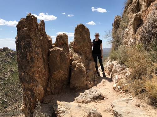
If a trail is labelled as “easy,” you’ll probably be fine wearing sneakers. “Easy” usually means fairly flat and smooth. Avoid sandals because they don’t provide much protection against cactus needles, scorpions, rocks, etc. For a “moderate” level trail, you might get by with sneakers but specific hiking shoes or boots are better, which is what you’ll want for “difficult” trails. Moderate, difficult, and primitive trails usually have more rocks, and your feet need protection from them with a thicker or stiffer shoe sole.

Clothing:

Use your judgment and dress for the weather. You may fall or rub against bushes, cacti, and rocks, so sturdier clothes beat flimsy. White or light-colored clothing will keep you cooler in the summer. A broad-brimmed hat protects against the sun.  

Sun Protection Options:

Sunscreen, long pants, long-sleeve shirts, gloves, sunglasses, hat.

Backpack:

Size depends on individual needs and preferences. A comfortable one is worth the money. A pack with a hip belt will make heavy loads (water!) more comfortable by shifting some weight onto the hips. Built-in water-carrying bladders are popular.

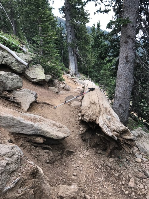
Trekking poles (optional):
Helpful for maintaining balance on uneven, unstable, or slanted surfaces. They take pressure off arthritic or weak knees when moving downhill.

Miscellaneous:
First aid kit, communication devices, maps, navigation aids, multi-tool, cooling towel for neck (requires water).

First Aid Kit

Commercial kit or DIY (do it yourself). You need tweezers to remove cactus needles and splinters, an assortment of band-aids, antibiotic ointment, 1% hydrocortisone cream, antiseptic towelettes, steri-strips, 2-inch gauze wrap, “2nd Skin” or other blister remedy, medical tape, 4×4” gauze pads, 2×2” gauze pads, small scissors or paramedic shears, latex or nitrile gloves. Barebones kit: tweezers, band-aids, 4×4” gauze pads, 2-inch gauze wrap. Optional: acetaminophen, NSAID such as ibuprofen, Benadryl (for itching). [sterile needle or other device for help removing splinters?]

Navigation Aids

A few trails are so obvious and/or crowded that you won’t need any navigation aids. Unless you’re sure about that, be prepared to prevent getting lost. Use a trail map and keep track of your location on that map. If you are in a remote area, strongly consider a handheld GPS navigation device (Garmin brand is the market leader), topographic map, and a compass. Learn how to use the compass and map before you need it. Hiking with someone familiar with the area could be life-saving.

Animal Hazards

Lions and tigers and bears, Oh My! AZ has no wild tigers but there are a few jaguars. Here are some problematic critters you may run across:

  • Snakes. The commonest dangerous snake here is the rattlesnake. Most of them are not aggressive if left alone but give them a wide berth. A coiled rattler can strike a distance 2/3 of its length. If you hear the rattle, it’s a clear warning. Always keep your eyes open for snakes, except you can let your guard down a bit between roughly Dec 1 and mid-March.
  • Gila monsters. Much less commonly seen than rattlesnakes. They tend to move slowly and are not aggressive unless threatened.  The venomous bite is very painful but rarely serious. Stay away.
  • Scorpions. Stings can be painful but usually not serious in healthy adults. Young children and the elderly are at higher risk of serious effects.  
  • Mountain lions (aka cougar or puma). Attacks on humans are uncommon but do occur. Many avid hikers have never seen a lion. Sabino Canyon near Tucson seems to be a relative hot spot.
  • Coyotes. Common. Unless rabid, they tend to ignore or run from adult humans. Keep small dogs and children near you.
  • Bobcats. Uncommon. Unless rabid, they tend to ignore or run from adult humans.
  • Black Bears. Uncommon to rare. Do not get between a momma bear and cubs. In bear country, avoid encounters by hiking with others and make noise (e.g., talking, whistling, singing) periodically. If a bear sees you, walk slowly away, keeping eyes on the bear. If it starts walking toward you, talk to it calmly in a low tone. Alternatively, a powerful blow on your emergency whistle may scare it away. If it comes at you aggressively, do not run or play dead; stand your ground, yell, wave your arms to make yourself look larger. If attack is imminent, fight with all you’ve got: throw rocks or wood, use bear spray, hands, firearms. Aim for the face. (The approach to grizzlies is different.)
  • Javelinas. Common. Usually not aggressive toward humans unless startled, threatened, or javelina babies are nearby. Stay away. Bites can be severe.
  • Bees. A few bee stings are not dangerous unless you are seriously allergic to them. Our Africanized bees can team up and kill humans with hundreds of stings. May and June are the highest risk months. Bees attack when the nest is threatened. When you see or hear an unusual number of bees in an area, move away quickly yet calmly. One sting may alert the colony that a predator—you!—is nearby. An attack may start with one or a few bees “head bumping” you as a warning; move away quickly. Resist the urge to swat, flail arms, or kill one of these or other bees. You can cover your head with clothing but don’t obstruct your vision. Once the entire colony or swarm attacks, run as fast as you can to shelter such as a car or building. If none is available, run for at least a quarter mile (400 meters), preferably in a straight line. You may be able to outrun them.

From the list above, if you have a scary animal encounter it’s most likely to involve a rattlesnake, scorpion, or bees. Odds are, you won’t have any problem at all. Search for information at trailheads about which dangerous animals are in the area and advice on avoidance and defense.
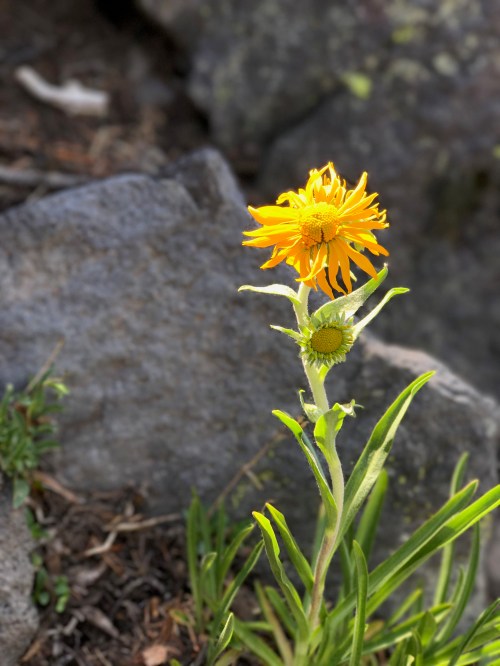
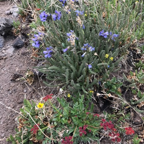
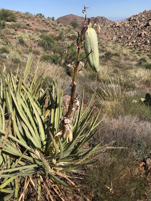
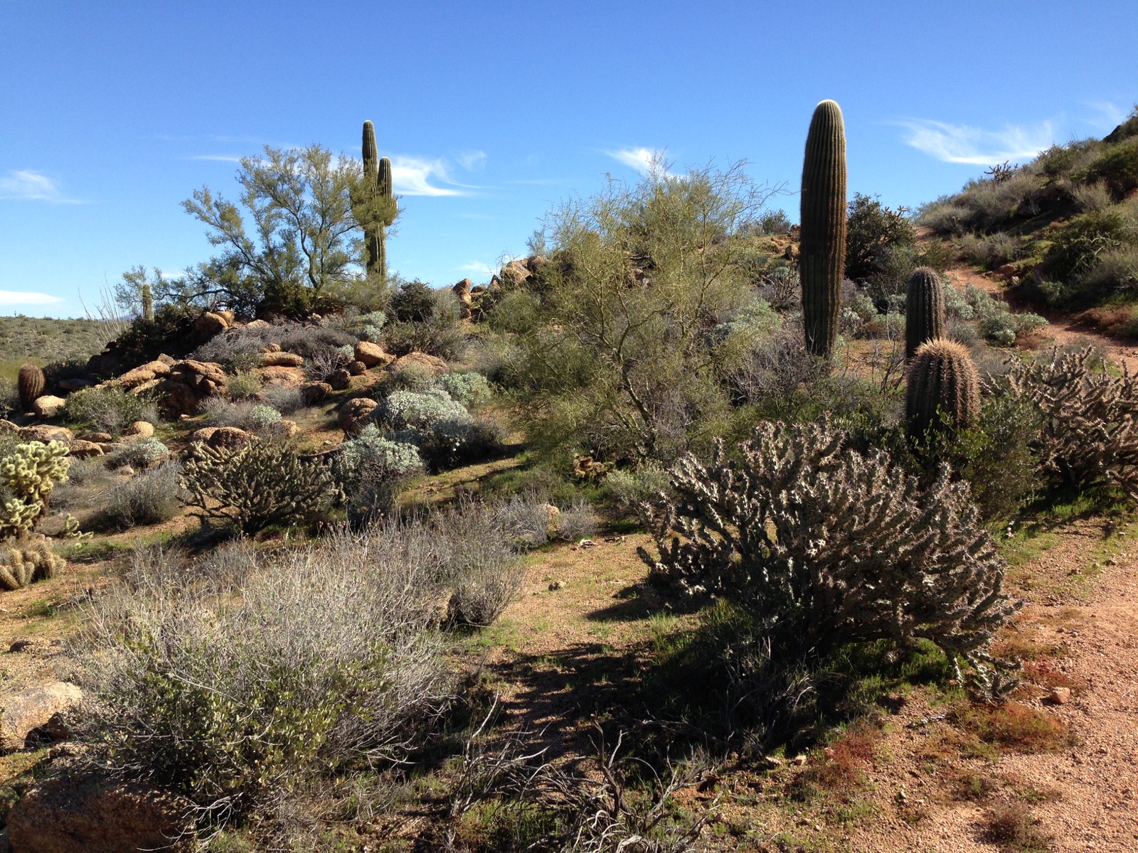
Plant Hazards

The desert is home to many spikey and prickly plants that are not always obvious upon inspection. Be vigilant. Watch young children closely.

How to Request Emergency Help

A cell phone is the usual first option. But remote areas often lack cell phone service. If service is marginal, try moving to a higher location and/or send a text message. If you’re disabled by injury, someone in your party can hike back to civilization for help, if time allows.

Another option is an emergency whistle. The idea is to get the attention of someone in the area. The whistle is louder and will transmit farther than shouting, up to a mile or so, and takes less energy. A common distress signal from a whistle is three blasts (2-3 seconds each) in succession, rest for a bit then repeat. Or use the old Morse code for SOS: three short blasts, three long blasts, then three short blasts.    

After cell phones, a satellite phone is the next most reliable and quick-response option although financially out of reach for most of us. Less expensive options are PLBs (personal locator beacons) and satellite messengers. PLBs solely send an SOS with your location to rescue agencies via satellite and do not have a subscription fee. Alternatively, satellite messengers allow you to send SOS signals, plus text messages to friends or loved ones and have additional features like navigation. A subscription fee is required. Examples are Garmin inReach, SPOT, and Bivy Stick.

Prepare for the Worst?

Imagine planning on a four-hour afternoon hike alone on a remote trail, but you trip and fall into a ravine, fracturing your leg, losing your ability to walk. And you have no way to call for help. Assuming a search party is planned, they may not find you until 12-48 hours later. You’ll have to spend the night in the wild and it’s getting cold. Are you prepared? Items to consider packing: tarp for making a shelter, 550 paracord, flashlight, space blanket for warmth, knife, method for purifying water, method for making fire (matches, lighter), firearm for protection, warm clothes, and food. Before heading out on the trail, take a full-body photo of yourself in your hiking clothes and send it to a loved one; this will help rescuers quickly identify you.

Conclusion

Be prepared, not scared.

Steve Parker, M.D.

front cover of paleobetic diet

Click to purchase at Amazon.com. E-book also available at Smashwords. com.

Hank’s First Hike

Hank (son of Tank), a yellow lab

Hank is six months old. Weighs about 60 lb, on the way to 90.

A collection of cairns half way up

Starting at the north trailhead, we made it 3/4 of the way to Tom’s Thumb, three miles round-trip, with 800 feet of vertical elevation.

I needed a selfie-stick

Hank did great on his very first nature hike. No apparent tiredness or soreness from it, whereas my knees were achy for the subsequent 48 hours. This was my first hike since the June trek up Humphreys Peak. On the way down I was wishing I had my trekking poles, but I can’t handle them and a leash.

Steve Parker, M.D.

Trek Report: Humphreys Peak 2017

Humphreys Peak on the left

The latter half of life is a battle with aging and gravity. We all eventually lose the war, but I’m not ready to give up the fight. Physical fitness is a powerful tactic in that war. For me, hiking is one way to get and stay fit. Mountain climbing, and the preparation therefor, pushes me to greater levels of fitness.

Scruffy little guy

I walked this route to Arizona’s highest point two years ago. Read that report for typical details. The post today is more personal and helps me plan my next climb, if any. A goal of mine for decades has been to climb one of the 14,000 foot peaks in Colorado, like Longs Peak. At my age, 62, that’s probably too ambitious. However, per Infogalactic: “The oldest person to summit Longs Peak was Rev. William “Col. Billy” Butler, who climbed it on September 2, 1926, his 85th birthday.”

Tundra plants above the tree line

I usually label posts like this a “hike report.” But I found one definition of trek as “a trip or movement especially when involving difficulties or complex organization : an arduous journey.” That’s more accurate here than a simple “hike.”

A view from about 10,000 ft

Miscellaneous Details

Two years ago I wrote that if I ever did this hike again, I’d want to acclimate to the altitude first, by spending 4–5 days in the Flagstaff area at 7,000 feet. Family obligations precluded that this year. We came up a day early and took the ski lift up to 11,000 feet, spending about an hour there. We then spent the night in Flagstaff at Sonesta ES Suites (very nice, and less expensive than many other hotels in the area). I slept fitfully, probably because of the altitude. I wonder if Diamox would have helped me sleep better.

A fire near Kendrick Peak

I started on the trail on June 20 at 7 AM and finished at 4:30 PM, so nine and a half hours. If you read trip reports from younger or more avid hikers, six to eight hours is more typical.

I am Groot

Trailhead temperature at the start was 65°F. I was in shorts and a tee shirt the whole day. Even in the afternoon, it can be much colder on the Peak, so you have to be prepared for that. I was too warm for much of this trip, so if I do it again it may be in mid-May instead of June.

Same fire

I drank four quarts (one gallon) on the trail. I ate six orange-colored peanut butter cracker sandwiches, four ounces of leftover Sizzler steak, and dried banana and apple slices.

A view from the Saddle

The hip belt on my backpack did a great job of taking some of the weight off my shoulders. I should have used this more during my training hikes.

On the way from the Saddle to the peak

From the trailhead to the Saddle took four hours. The reverse took 2.5 hrs.

I was surprised that my walk between the Peak and the Saddle took the same amount of time whether I was ascending or descending. About an hour and 15 minutes to cover the mile.

The Peak was covered with thousands of flying gnats. They didn’t bite much so I just ignored them and got off the Peak immediately after taking pictures.

I did it!

It’s easy to lose the trail as you’re heading up at a particular switchback at approximately 11,000 feet. See the photos below for details. This is dangerous, and whoever is in charge of trail maintenance needs to fix it before catastrophe strikes. I lost the trail and searched for it for 10 minutes before finding where I lost it. I was ready to give up and head down the hill when a couple from Prescott, AZ, showed up and pointed me in the right direction. Smooth sailing from then on. Nearly everywhere the trail is easy to see.

Turn left immediately after you pass the log jutting out. From this view going up the hill, the log hides the true trail. We need a sign here. 

Yes, walk up the right side of this log!

This is the view of this log as you’re descending. Very easy to see trail.

I did this on a weekday, so there were not nearly as many folks on the trail as when I did a weekend trek two years ago. If you hike this on a summer weekend, get there early or you may not have a place to park.

There were patches of snow on the ground as low as 10,000 feet. Very unusual for this time of year.

I’m at the Saddle

At the start of the hike and even half-way into it, I put my odds of success—reaching the summit—at 50:50. It’s up to me whether I sprain an ankle or break a bone, but it’s up to God whether I get altitude sickness or have a heart attack or stroke. My biggest doubts were inadequate preparation and my patellofemoral pain (PFP) syndrome. My last training hike was on June 3, and the day after that I was resigned to calling off the trip entirely. Part of me was willing to try it, but my smarter side said it wasn’t worth possible permanent knee injury or 6–12 months of disability and rehabilitation. But by June 14 the knee was feeling much better so I decided to forge ahead. After this trek, I was  done hiking for the summer and expected the knee to be back to normal within the subsequent 3–4 weeks even without rehab or NSAIDs. But it took three months.

Tundra flowers

That last mile to the Peak was not as arduous as it was two years ago. I’m not sure if that’s psychological, or attributable to better hydration, better nutrition or pacing. I consciously kept my pace slow on the way up, averaging one to one and a half miles per hour (don’t be critical; this includes breaks for hydration, food, rest, and photos). I’ll keep this slow pace next time.

Don’t be so focused on the peak that you forget to look around

Overall, I think I was in the same state of physical conditioning as I was two years ago. I had no muscular soreness the day after the hike.

I had no trouble with altitude sickness.

Flagstaff

This is the home of Northern Arizona University, a typical small college town. The main drag is Milton Road. I love visiting here. I almost took a job here until I learned that the average daily low temperature is 32°F or below for seven months out of the year. We are “horse people” and didn’t think the low temps were a good fit.

Free Hiking Tips

Obvious dangers to consider on a trek like this: dehydration, rain, sleet, hail, lightning, heat exhaustion, sun over-exposure. Bears and mountain lions don’t seem to be problems on Mt. Humphreys, although bears are certainly in the area.

A less obvious but more common danger is missteps. You always have to be on the lookout for rocks and tree roots that can trip you or sprain your ankle. Particularly treacherous are flat rock surfaces coated with gravel or dust; these can be nearly as slick as ice. In the wilderness, a bad ankle sprain, lower limb fracture, or torn knee ligament or meniscus can put your life at risk, particularly if you’re by yourself. Missteps are more likely to occur when you’re tired.

In the wilderness, keep track of your location constantly, either with a map or GPS unit or both. Yes, GPS units can malfunction and batteries die. If you’re on an established trail but suddenly find yourself off it, stop going forward immediately and try to find the trail. Don’t panic. If you get hopelessly lost, a personal transmitter could save your life. Before your trip, let someone know where you’re going, on which trails, and when you’re expected to be back in civilization. Tell them to expect your call when done. Hike with a pal when able.

Steve Parker, M.D.


OMG I’ve Got PFP

My daughter and I at Tom’s Thumb on June 3. She got her good looks from her mom, obviously.

I posted this here a couple weeks ago:

I’ve developed over the last month some bothersome pain in my right knee. It’s not interfered much with my actual hiking, but I pay for it over the subsequent day or two. I’m starting to think this may put the kibosh on my Humphries Peak trek next month.

The pain is mostly anterior (front part of the knee) and is most noticeable after I’ve been sitting for a while with the bent knee, then get up to walk. The pain improves greatly after walking for a minute or less. It also hurts a bit when I step up on something using my right leg. If I sit with my knee straight (in full extension), it doesn’t hurt when I get up. The joint is neither unusually warm nor swollen. Ibuprofen doesn’t seem to help it. These pain characteristics seem classic for something, but I don’t know what, yet….My twice weekly hikes always include a fair amount of elevation gain. I suspect an over-use syndrome, basically a training error. I plan to take an entire week off from hiking and Bulgarian Split Squats, and taking ibuprofen 600 mg three times a day.

The view looking south from the base of Tom’s Thumb

I did some research in the literature and think I’ve got patellofemoral pain, aka PFP or PFP Syndrome. Can’t say I’d heard of it before. Sounds more like a description than a diagnosis. Like saying someone has fever.

This guy posed for my daughter

I got most of my info on PFP from UpToDate.com, but you probably don’t have access to that. You healthcare professionals, click for a 2007 article at American Family Physician. Mayo Clinic has info for muggles. So does American Academy of Orthopaedic Surgeons.

I hope she thinks of this hike when she sees Tom’s Thumb from Hwy 101

I may have some age-related osteoarthritis in both knees, but that’s not causing this pain.

My PFP was caused by over-use. Too much hiking with elevation gain and  accelerating my program too rapidly. Also, prior experience taught me that using trekking poles helped take strain off my knees, and I have not been using them.

The newest resident at the Parker Compound. He’s eight weeks old.

I took a week off from hiking while taking ibuprofen 600 mg three times a day, when I could remember it. The combo helped, probably the rest more than the NSAID. Then I did two six-mile walks on the flat without much trouble. On June 3, I hiked Tom’s Thumb trail with my trekking poles, 4 miles round trip, and only had mild discomfort. Most importantly, I learned that I get relief from icing down the knee for 30-45 minutes after I get home.

I’m disappointed I can’t climb Thompson Peak in preparation for Humphries Peak. It would probably kill my chance to summit Humphries (right now I put those odds at 50:50).

Steve Parker, M.D.


Hike Report: Romero Canyon Trail to Romero Pools (near Tucson, Arizona)

One of a string of pools

This was a 4.5 mile round-trip on the Romero Canyon Trail to see the Romero Pools, which are about 2.2 miles from the trailhead. I was fortunate to have my daughter with me. Her house is a 30-minute drive from the trailhead. Elevation gain, if memory serves, was 800 or 900 feet.

This is rugged and wild land. I’m sure there are bears and mountain lions here.

There were not many people on the trail when we did this on May 14. At the pools per se were 10-14 folks, including a couple topless women.

My hiking buddy

This trail is difficult due to the rocky footing and steepness. It was a good workout. We never came close to losing the trail, and we never had to scramble over large boulders.

View from first part of the trail

Trail-side flower

My beautiful daughter

I saw about five pools clustered together but there are probably more

Uh Oh: My Knee Hurts

I’ve developed over the last month some bothersome pain in my right knee. It’s not interfered much with my actual hiking, but I pay for it over the subsequent day or two. I’m starting to think this may put the kibosh on my Humphries Peak trek next month.

The pain is mostly anterior (front part of the knee) and is most noticeable after I’ve been sitting for a while with the bent knee, then get up to walk. The pain improves greatly after walking for a minute or less. It also hurts bit when I step up on something using my right leg. If I sit with my knee straight (in full extension), it doesn’t hurt when I get up. The joint is neither unusually warm nor swollen. Ibuprofen doesn’t seem to help it. These pain characteristics seem classic for something, but I don’t know what, yet. Possibilities include degenerative joint disease, chondromalacia patellae, patellar tendonitis, or an internal derangement such as a torn cartilage or meniscus. My twice weekly hikes always include a fair amount of elevation gain. I suspect an over-use syndrome, basically a training error. I plan to take an entire week off from hiking and Bulgarian Split Squats, and taking ibuprofen 600 mg three times a day.

Steve Parker, M.D.

Hike Report: The Lookout in McDowell Sonoran Preserve


Looking south from The Lookout, you see Thompson Peak in the center. The highest point in the McDowell range is McDowell Peak on the right, about 10 feet higher than Thompson Peak.

This hike is essentially the same as to Tom’s Thumb trail, but instead of taking the short spur going north to the Thumb, you go a tenth of a mile further and take the half mile spur to The Lookout. This last half mile is easy, and rewarded by  excellent view to the south and east.

A prickly pear cactus blossom

My original goal had been to continue walking past this spur, to the west, until I reached a bizarre mountain spring. Bizarre because you’d never expect it in this desert. But after a quarter or half mile, it was getting hot and no one else was on the narrow trail, which was steep and quite rocky. I didn’t know exactly how far it was to the spring. I could see myself getting injured or over-heated, and decided it just wasn’t worth it. I think I’d rather die than call in a rescue party. So I turned around and headed back to The Lookout spur.

Banana yucca

Total distance for this trip was about 6 miles and it took three hours. Loaded with a 10-lb dumbbell and plenty of water, my backpack weighed about 20 lb.

From The Lookout: Phoenix and Scottdale in the distance

I’m impressed with how many young women I see on this trail, either alone or in small groups. I’m glad they feel safe doing it.

Eastern view from The Lookout: Four Peaks on the horizon

I was delighted to see three people on horseback on the trail, too.

Way in the distance is the Fountain Hills, AZ, fountain. It explodes up 300 feet every hour on the hour for 10 minutes.

Did you know that exercise isn’t an effective way to lose fat weight? 90% of weight loss comes from altering your diet. Try one of my diets, like the Advanced Mediterranean Diet.

Steve Parker MD, Advanced Mediterranean Diet

Two diet books in one

Hike Report: Sunrise Trail In Scottsdale, Arizona

…with a side trip to Andrews-Kinsey trail.

This is what 50% of the trail looked like from the trailhead to the peak. Is there a rattler in the shade of that rock?

As you might remember, I’m training to summit Humphreys Peak in June. So I’ve been hiking twice weekly, mostly on Pinnacle Peak Trail and Tom’s Thumb Trail. My longest trek thus far has been seven miles. I plan to walk some longer distances and/or carry more weigh in my backpack in the coming weeks. Lately I’ve added a 10-lb dumbbell to my pack.

Yes, this is the trail. From the trailhead to the peak, 10% of it looked like this. You need good footwear for this.

Yesterday I started at the Sunrise Trailhead, made it to Sunrise Peak in about an hour, then walked over to the Andrews-Kinsey trail and followed for about a mile before turning around and heading back to the car. Total trip was about six miles over three hours. I carried the 10-lb dumbbell in my backpack, plus water.

3/4 of the way to the peak, looking down at the trailhead near houses.

Sunrise Trailhead to the peak is a difficult trail by most standards. Steep, rocky, unrelenting. You gain about 1,1000 feet of elevation. My pace was only 1.8 miles per hour. Approaches from Ringtail Trailhead and 136th Street Trailhead are quite likely less steep, but more miles to the peak.

A view of Scottsdale from Sunrise Peak

The Andrews-Kinsey trail was relatively flat, mostly gravel, and had good views. Didn’t see another soul on it.

From the pictures, you can tell there’s not much shade on this hike. What you cannot see is that the mountains themselves will provide shade for this entire trip if hiked in the late afternoon.

Looking north from Sunrise Peak. These are the McDowell Mountains. Note the trails.

I saw a snake on this trip, just got a brief glimpse of it a foot and a half from me and he was truckin’. It was about 1.5 inches thick, and I’m guessing four feet long. Didn’t look like a rattlesnake. Maybe a bull snake.

I was on the trail at 0740 hrs and was glad to be done three hours later when the temperature was in the upper 80s Farenheit.

I last did this trail in 2013. I didn’t put it in that trip report, but I remember it being particularly grueling, having started at Ringtail trailhead and going to Sunrise trailhead then back to our starting point, a total of 10 miles and 2,000+ vertical feet of elevation.

Tom’s Thumb Trail in the McDowell Sonoran Preserve


The thumb is sticking up on the horizon on the far left

The thumb is sticking up on the horizon on the far left

You might recall I hope to climb to the summit of Arizona’s highest mountain in June. So I’m in training.

First time I've seen a backhoe doing trail repair

First time I’ve seen a backhoe doing trail repair

I started this hike at the Tom’s Thumb Trailhead at the north end of the preserve. I made it to the base of the landmark then turned around and came back the same way. Total trip length is between 4 and 4.5 miles and I figure a 1000 feet of vertical elevation gain. The footing is mostly gravel/dirt. Lots of folks were hiking it with less sturdy shoes than mine. It took me 1 hour and 50 minutes round-trip.

At the base of Tom's Thumb, overlooking Scottsdale and the Valley of the Sun

At the base of Tom’s Thumb, overlooking Scottsdale and the Valley of the Sun far in the distance

On the way down I was wishing I’d brought my trekking poles to take some of the strain off my knees.

Click for trail details.

The thumb up close and personal

The thumb up close and personal

The View From Pinnacle Peak, Looking Southeast

Taken with my new iPhone-7 Plus

Taken with my new iPhone-7 Plus

This was only my third training hike (in prep for Humphreys Peak) and I was pleasantly surprised to feel a positive training effect already. Or maybe I was just high on the beautiful day and setting.

Steve Parker, M.D.

And so it begins: My quest for Humphreys Peak

60 degrees F.

60 degrees F.

Lord willin’, I’m going to hike to the top of Humphreys Peak in Arizona this June. I started training today, at Pinnacle Peak Trail in Scottsdale.

With only a couple bottles of H2O in my backpack, I walked the 3.5 mile round-trip trail in 70 minutes. I mention the water because when I’m in better shape I’ll carry in my pack a 10 or 15 lb dumbbell plus water.